| This map is found on Mapicurious.com | Download these points of interest directly into your favorite GPS or other geo software | |||
|
|||
| Use the zoom controls on the map to adjust the map's viewable area then print: | |||
| LOCATIONS highlighted on this map: |
|
lat:25.71705556 
The Key Biscayne North Base Marker was placed here in April of 1855 by the U.S. Coast survey team, under the direction of Alexander Dallas Bache, the great-grandson of Benjamin Franklin and Superintendent of the Coast Survey. The survey was done by triangulation, a mathematical system using triangles to compute various distances from a few measured lengths, known as bases. Using these bases the coast of South Florida was mapped for navigational purposes. This marker, at the north end of the Key Biscayne base, is 3.597 miles from the south marker, which is located approximately 300 feet southeast of Cape Florida Lighthouse. Sponsored by Eastern Airlines in Cooperation with The Historical Association of Southern Florida.
lat:25.71538889 
Please stay off the cart path.
lat:25.715222 
lat:25.71611111 
lat:25.72041667 
lat:25.71630556 
lat:25.71630556 
lat:25.71941667 
lat:25.71655556 
lat:25.72058333 
lat:25.72127778 
lat:25.72080556 
lat:25.71083333 
lat:25.71230556 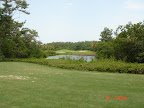
lat:25.71080556 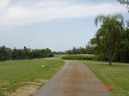
lat:25.71494444 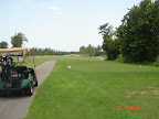
lat:25.71541667 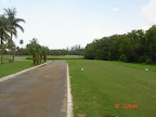
lat:25.71433333 
lat:25.71516667 
lat:25.71305556 
lat:25.71180556 
lat:25.71541667 
lat:25.71911111 
lat:25.71258333 
lat:25.71769444 
|


|
Although the author has taken all reasonable care in preparing this guide, Mapicurious and the author make no warranty about the accuracy or completeness of its content and accept no responsibility for any loss, injury, or inconvenience arising from its use. |