This map is found on Mapicurious.com | Download these points of interest directly into your favorite GPS or other geo software
Fulton Civil War Historical Markers - Vol 2
Earn a history lesson by checking out all these Civil War markers. You probably passed them on your way to and from work . Click the blue markers to see a picture and then click on the picture to read the text. See other maps for more markers.

This map made by markerinfo
Visit http://mapicurious.com/fultonvol2 for an interactive map


Scan QRCode for info
mapicurious logo icon
Use the zoom controls on the map to adjust the map's viewable area then print:
LOCATIONS highlighted on this map:

1 Fulton County Markers Picture Gallery

lat:33.751022
lng:-84.392437

Click on the link to visit 10 pages of pictures.

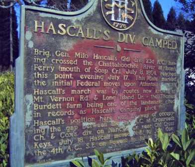
Hascall's Div Camped GHM

lat:33.8920167
lng:-84.3919167

Image06

Historic Utoy Church GHM

lat:33.71565
lng:-84.4496833

Image07

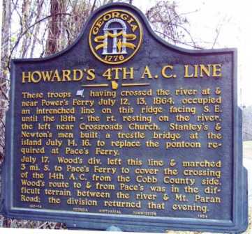
Howard's 4th A.C. Line GHM

lat:33.8982167
lng:-84.426

Image08

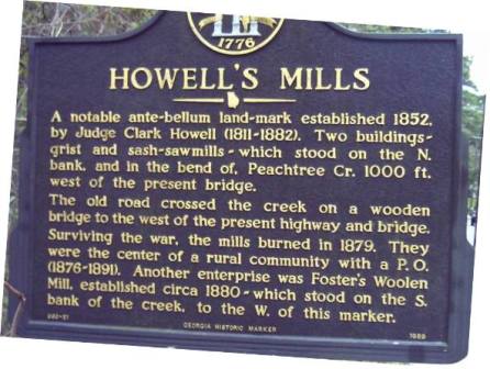
Howell's Mills GHM

lat:33.82375
lng:-84.416

Image11

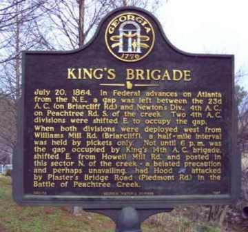
King's Brigade GHM

lat:33.81815
lng:-84.3773333

Image12

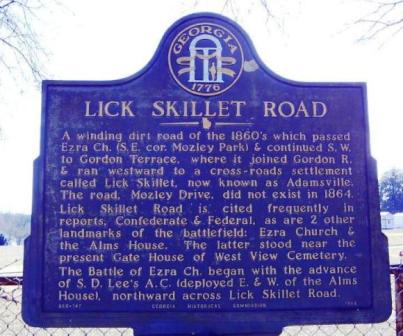
Lick Skillet Road GHM

lat:33.7503167
lng:-84.4481333

Image13

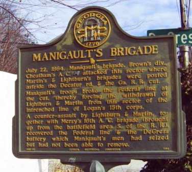
Manigault's Brigade GHM

lat:33.7586333
lng:-84.35185

Image14

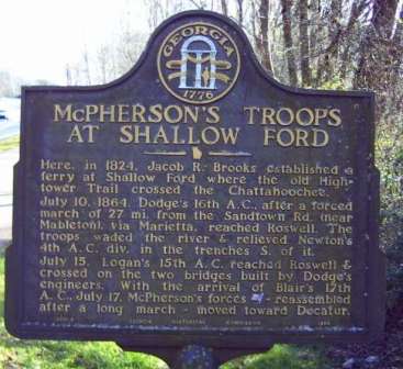
McPherson's Troops at Shallow Ford GHM

lat:34.0047833
lng:-84.3529167

Image15

McPherson's Troops March to Decatur GHM

lat:33.9708333
lng:-84.3394167

Image16

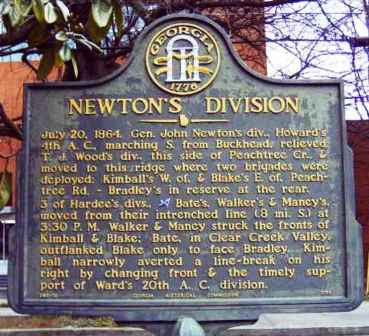
Newton's Division GHM

lat:33.80835
lng:-84.3929667

Image02

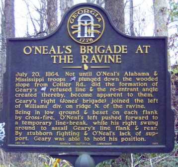
O'Neal's Brigade at The Ravine GHM

lat:33.81265
lng:-84.4074167

Image07

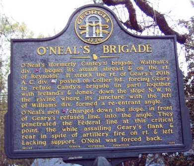
O'Neal's Brigade GHM

lat:33.8104333
lng:-84.4079

Image08

On Geary's Front GHM

lat:33.8109167
lng:-84.4038833

Image06

Reynold's Brigade at The Ravine GHM

lat:33.8096
lng:-84.41135

Image12

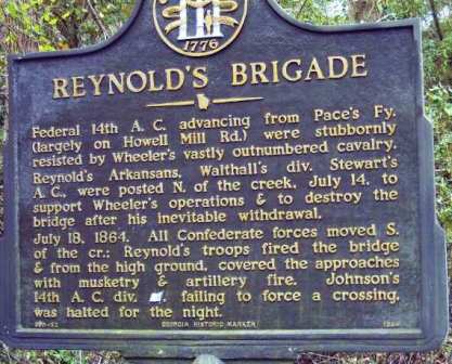
Reynold's Brigade GHM

lat:33.82375
lng:-84.416

Image13

Rt. of 20th A.C. Line GHM

lat:33.8149833
lng:-84.4157167

Image14

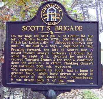
Scott's Brigade GHM

lat:33.8102667
lng:-84.4024333

Image15

Site of Ezra Church

lat:33.7532
lng:-84.4367333

Image16

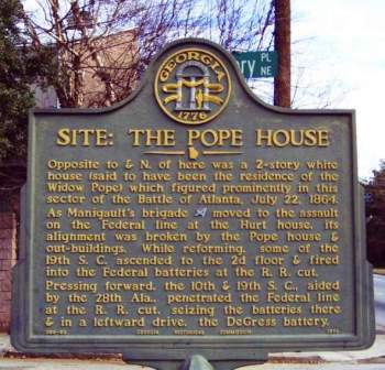
Site: The Pope House GHM

lat:33.7579333
lng:-84.35285

Image17

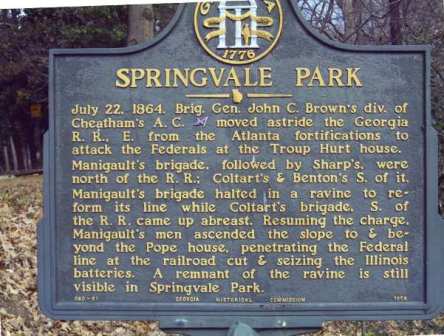
Springvale Park GHM

lat:33.7564167
lng:-84.3572833

Image05

Surrender of Atlanta September 2, 1864 GHM

lat:33.7762667
lng:-84.4072

Image06

The 15th Corps Sector GHM

lat:33.7584
lng:-84.3522833

Image07

The DeGress Battery GHM

lat:33.7602833
lng:-84.35305

Image08

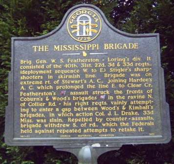
The Mississippi Brigade GHM

lat:33.8085333
lng:-84.3980833

Image09

Although the author has taken all reasonable care in preparing this guide, Mapicurious and the author make no warranty about the accuracy or completeness of its content and accept no responsibility for any loss, injury, or inconvenience arising from its use.