| This map is found on Mapicurious.com | Download these points of interest directly into your favorite GPS or other geo software | |||
|
|||
| Use the zoom controls on the map to adjust the map's viewable area then print: | |||
| LOCATIONS highlighted on this map: |
|
lat:33.74575307715579 
This page has links to over 60 waterfalls that we have visited you can click on this link to visit our WEB site.
lat:34.548299 
De Soto Falls State Park
lat:34.701597 
Located in the Duke’s Creek Recreation Area
lat:34.709419 
Raven Cliffs Wilderness Area
lat:34.709419 
Raven Cliffs Wilderness Area
lat:34.709419 
Raven Cliffs Wilderness Area
lat:35.734709 
On Glassmine Branch Viewed from the Blue Ridge Parkway Milepost 361.1
lat:35.433306 
On Fall Creek in Chimney Rock Park
lat:35.449089 
De Soto Falls State Park
lat:34.710854 
Located in the Chestatee WMA
lat:34.394132 
Little River Canyon National Preserve
lat:34.518411 
Little River Canyon National Preserve
lat:35.295864 
Looking Glass Falls
lat:35.311668 
On Moore Creek Pisgah National Forest
lat:35.765013 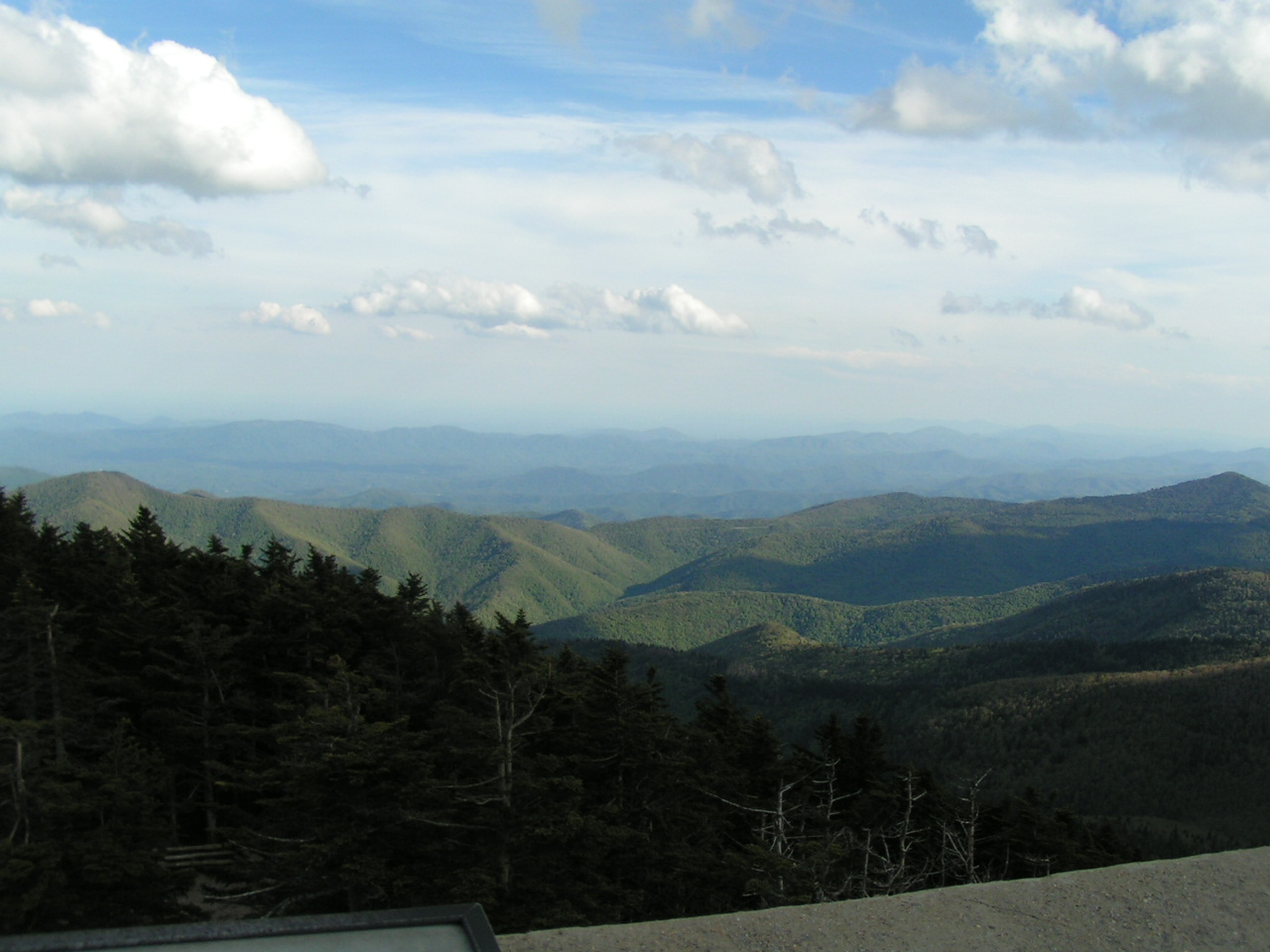
Highest Mountain in the Eastern United States
lat:35.449089 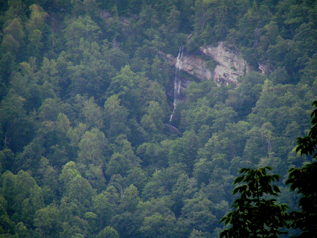
As seen from Chimney Rock Park
lat:34.709419 
Raven Cliffs Wilderness Area
lat:35.760061 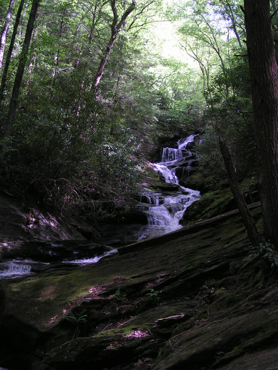
On Roaring Fork River Pisgah National Forest
lat:35.749485 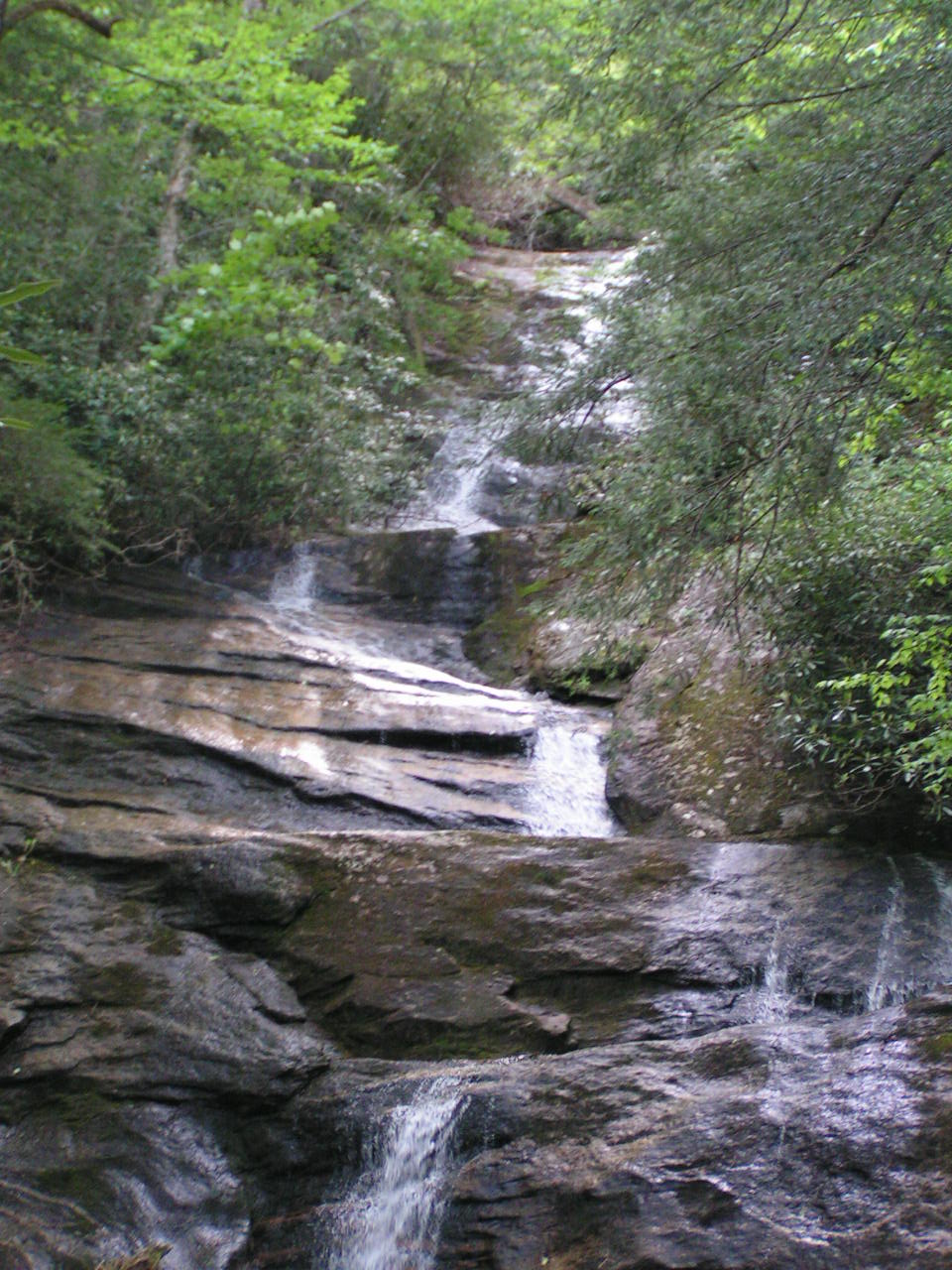
On Setrock Creek Pisgah National Forest
lat:35.291932 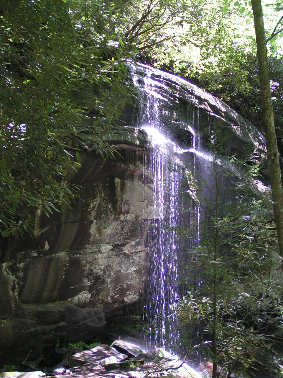
On Slick Rock Creek Pisgah National Forest
lat:35.311956 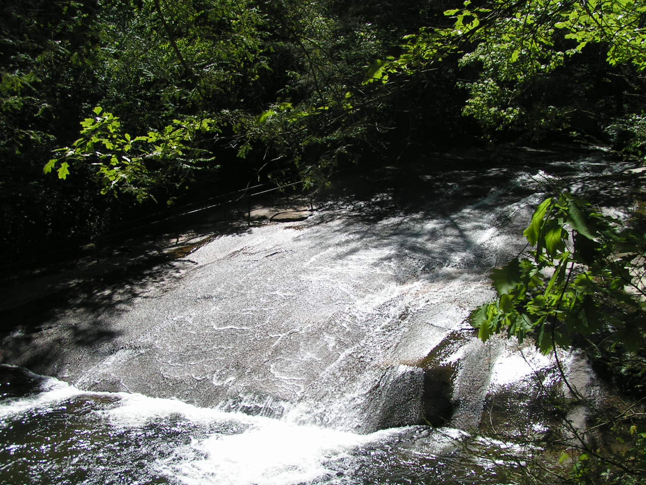
On Looking Glass Creek Pisgah National Forest
lat:34.6688 
Located in the Waters Creek Recreation Area
lat:34.6688 
Located in the Waters Creek Recreation Area
|


|
Although the author has taken all reasonable care in preparing this guide, Mapicurious and the author make no warranty about the accuracy or completeness of its content and accept no responsibility for any loss, injury, or inconvenience arising from its use. |